Citizen scientists joined researchers from the Academy of Natural Sciences of Drexel University to document extreme heat and air quality across Philadelphia neighborhoods this summer as part of a project funded by the National Oceanic and Atmospheric Administration.
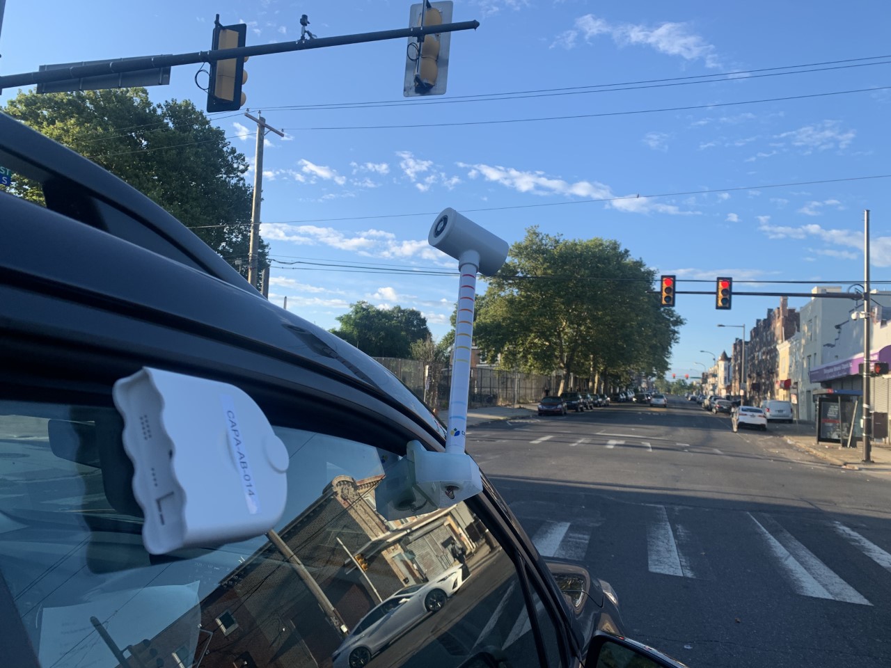
Each team traversed the city along specific routes, using special sensors mounted to the exterior of their cars that measured temperatures and air particulates. By pinpointing hotspots on a single day, the researchers gathered data that can inform the development of strategies to prepare for climate change.
Cities typically experience higher temperatures than nearby suburban and rural areas, and the negative effects of heat and pollution are often the worst in low-income areas where tree cover is inadequate. Data that the researchers gathered will help city officials and community advocates to target resources where they are needed the most, according to Richard Johnson, who directs community science at the Academy and led Philadelphia’s collaboration with NOAA.
Philadelphia was among 16 cities chosen to take part in this year’s heat mapping study, though it was just one of two invited to also monitor air quality.
“Philly only has 10 air-quality monitoring stations,” Johnson says. “We have a lot of industry, and this data could help the city decide that we need more monitoring stations, particularly in environmental justice communities.”
To recruit “citizen scientists” for the project, Johnson engaged residents who live in urban heat islands by reaching out to community groups including Esperanza, Historic Fair Hill, Northeast Tree Tenders, Philly Thrive, Residents Organized for Advocacy and Direction, Southwest Community Development Corporation, Tookany/Tacony-Frankford Watershed Partnership and United Neighbors of West Oak Lane. By the end of 2022, NOAA will provide maps reflecting the data collected, allowing the community to take steps to alleviate excessive heat.