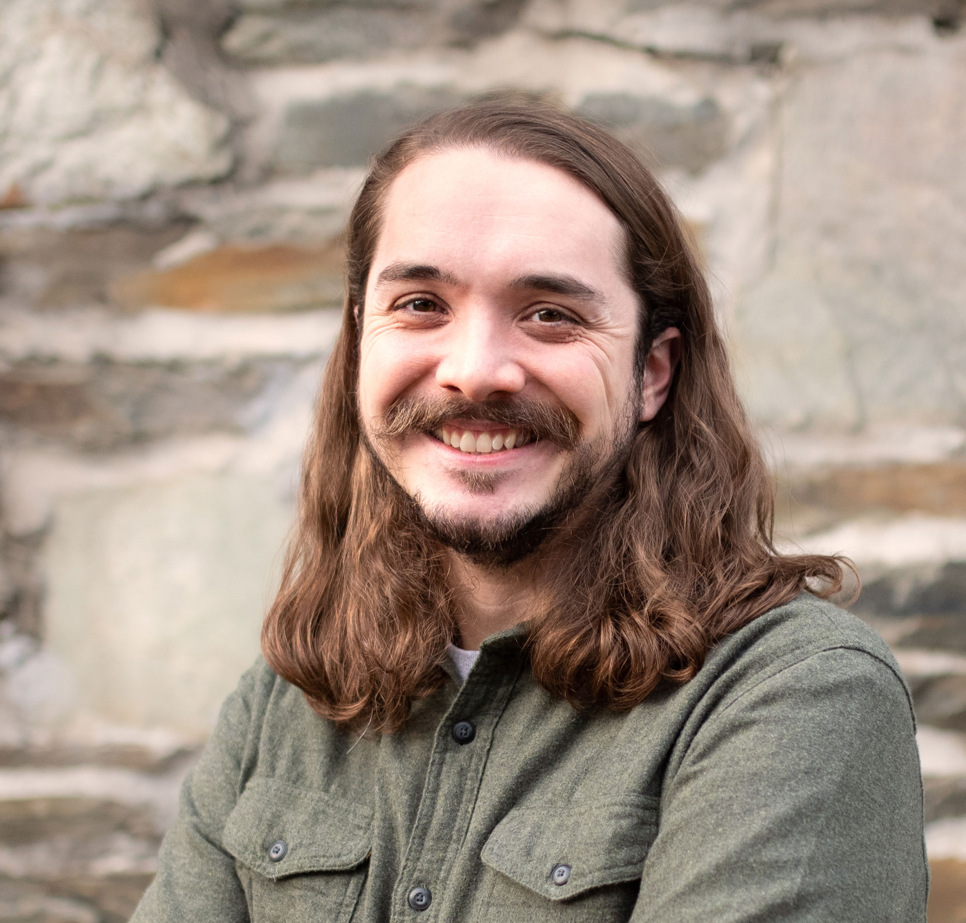
Paul Sesink Clee, 33
PhD biology ‘17
Deputy Geographic Information Officer, City of Philadelphia
For six years, Paul Sesink Clee criss-crossed Africa in pursuit of his graduate research in ecology and biology.
Whether studying environmental damage caused by elephants in South Africa’s Kruger National Park or hunting for chimpanzee feces to model disease distributions in primates across Central Africa, Sesink Clee made use of his geographic information system (GIS), data analytic and coding skills.
Cameroon may be a far cry from the streets of West Philadelphia. But his current job with the City of Philadelphia has more than a few parallels.
Same technology. Different primate.
“GIS has been a tool we’ve always used,” says Sesink Clee, now the deputy geographic information officer for the City of Philadelphia’s Office of Innovation and Technology. “Showing something interesting can help reach a wider audience. If you show people a pretty map, people tend to get excited.”
Arriving at Drexel to complete his PhD, Sesink Clee realized a career in academia could limit what he enjoyed most: the field research. He also concluded that living a life as a globetrotting researcher would not be best, in the long run, for a family. So, he turned to a new way to put his GIS skills to work.
“I had some great skills in my back pocket that could be applied to data analyses to help the city,” he says.
Today, Sesink Clee uses technology to find solutions to residents’ needs, whether that’s making sure streets get plowed or school children have access to internet.
Consider the solar panel project. Sesink Clee designed SOLARrooftops, an online mapping application to determine which buildings would be most suitable for solar panels, based on how much sun they received.
By modeling the path of the sun for a year, he calculated the amount of solar energy hitting every rooftop in the city’s more than 500,000 buildings.
Now, city residents can check a map to determine if solar panels might be a good investment.
Sesink Clee harnessed the power of GIS technology to help design the Philly Vehicle Locator, an algorithm that made possible StreetSmartPHL, the city’s first smart tool to give residents access to real time information about core city services.
GPS units placed on over 2,000 city public works vehicles send coordinates every 15 seconds which is used to find out which block they are on at any one time and, in the process, help answer two of residents’ most pressing questions: When will my street get plowed and when will my trash get picked up?
Sesink Clee also manages the city’s development of Next Generation 9-1-1, a federal initiative to update the country’s emergency response systems so that first responders get to the right locations faster.
Since the beginning of the COVID pandemic, Sesink Clee has dedicated most of his time to building systems to connect health care resources and basic needs services throughout the Philadelphia region, making sure there are enough hospital beds, that health care workers have enough PPE, that residents have food or students have computers for online learning.
While in academia, Sesink Clee says, you’re often asking yourself: “What is the actual effect of my research?”
“We do a project for the city, and the effects are immediate,” he observes. “You can often see the benefits right away.”


